
Space3ac first batch alumni
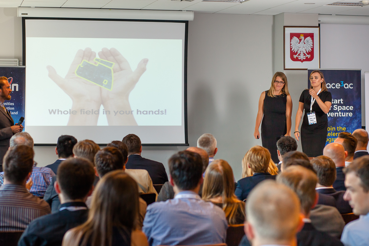
Farm Scanner
Domain: Earth Observations
The winner of space3ac first batch. A complex information system for the agriculture sector. Farmers based on maps creaed on satellite data will know when to start harvesting and when and how much fertilizers to use. The aim of the system is to increase crop efficiency.
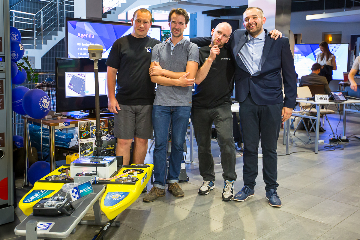
Autodron
Domain: GNSS
The team created a droneship project using satellite navigation to move automatically and conduct measurements of the seabed with an depth sounder in order to create precise coastline maps.
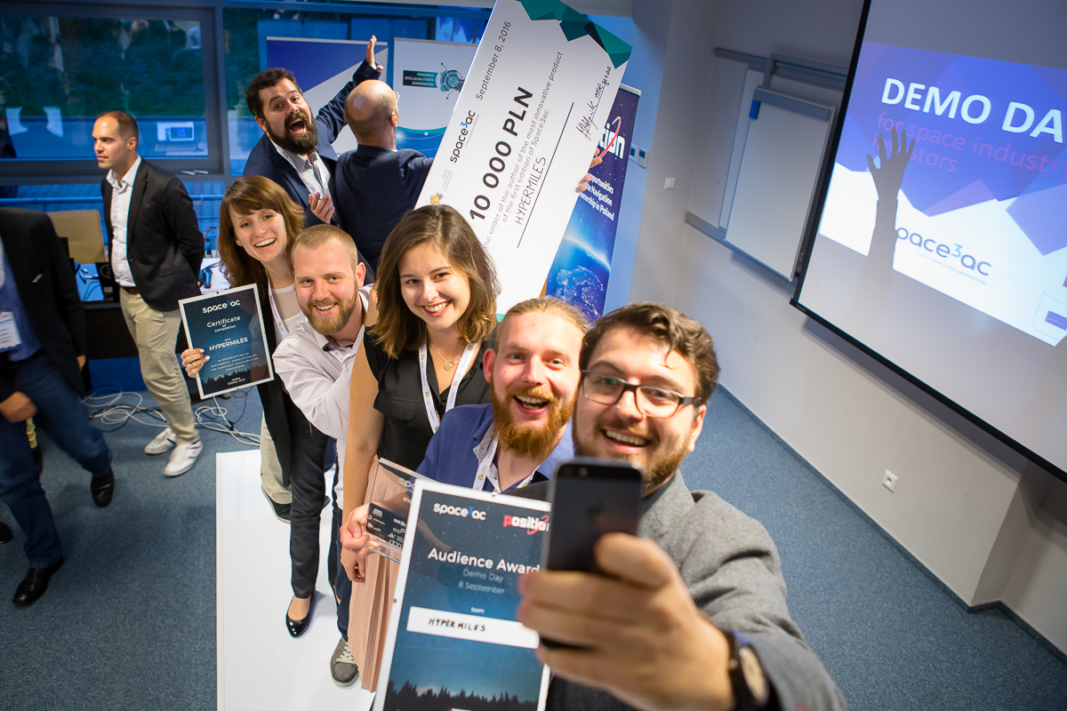
Hypermiles
Domain: GNSS
A solution for the transportation sector, which aims to reduce fuel use by a modification of driving behaviours and teaching drivers how to drive in an economic and ecological way.
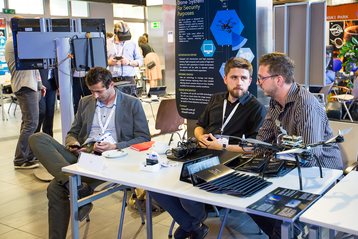
S4T
Domain: GNSS
A fully automated drone project, which aims to monitor construction terrains and other areas needing supervision and intruder protection.
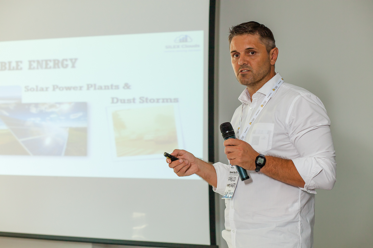
SILEX Clouds
Domain: Earth Observations
A project of a tool utilising EO data to provide information for solar energy producers from renewable sources. SILEX Clouds give alerts on sand storms or other events impacting the efficiency of energy producing devices
Skybox
Domain: GNSS
A solution aiming to provide parachuters with detailed information on their jumps and alerting them from collision events.
Received projects
teams graduated
international mentors
PLN in cash for the best team
Partners
Honorary patronage
Media
Supporting Partners
Space3ac Newsletter
By clicking „Subscribe” you agree to processing of personal data provided by you for the purpose of sending you the SPACE3AC email by Blue Dot Solutions Sp. z o.o., Gdańsk (80-309), Al. Grunwaldzka 472, registered in the Register of Entrepreneurs of the National Court Register under the number 0000529485, NIP (Tax ID No.): 584-27-38-619, REGON (Business ID No.): 22217535400000 who is at the same time the personal data administrator in the meaning of the Act of 29 August, 1997 on Personal Data Protection.